 vesseltracker.com
Live AIS position:
4.24333° N, 103.46167° E UTC. Near KEMAMAN),
updated 2025-11-21 18:37:19 UTC.
Find the position of the vessel GAS ASTRID on the map. The latter are known coordinates and path.
marine traffic ship tracker show on live map
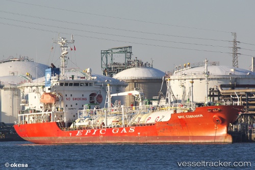
The current position of vessel GAS ASTRID is 4.24333 lat / 103.46167 lng. Updated: 2025-11-21 18:37:19 UTCCurrently sailing under the flag of Marshall Islands
GAS ASTRID built in 2009 year
Deadweight:
3103 tDetails:
Last coordinates of the vessel:
UTC, 4.24355, 103.46187, course: 43, speed: 0UTC, 4.24333, 103.46167, course: -1, speed: 0
UTC, 4.24357, 103.46188, course: 43, speed: 0
2025-11-21 18:37:19 UTC, 4.24333, 103.46167, course: -1, speed: 0